


4,2 km | 5,3 km-effort

Tous les sentiers balisés d’Europe GUIDE+


Application GPS de randonnée GRATUITE
 SityTrail
IGN / Instituts géographiques
SityTrail World
Le monde est à vous
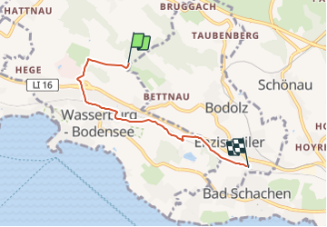
Randonnée A pied de 4,2 km à découvrir à Bavière, Landkreis Lindau, Wasserburg (Bodensee). Cette randonnée est proposée par SityTrail - itinéraires balisés pédestres.
Randonnée créée par Nordic Walking Park „Bayerischer Bodensee“.
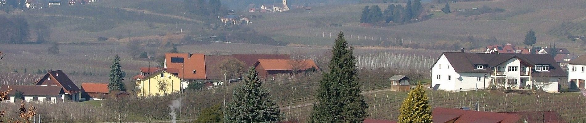
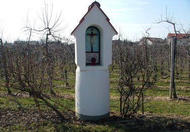
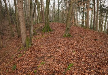
 - Nordic-Walking Bayerischer Bodensee Bodolz R13 : Enzisweiler Runde - Photo 1")
 - Nordic-Walking Bayerischer Bodensee Bodolz R13 : Enzisweiler Runde - Photo 2")
 - Nordic-Walking Bayerischer Bodensee Bodolz R13 : Enzisweiler Runde - Photo 3")
 - Nordic-Walking Bayerischer Bodensee Bodolz R13 : Enzisweiler Runde - Photo 4")
 - Nordic-Walking Bayerischer Bodensee Bodolz R13 : Enzisweiler Runde - Photo 5")
 - Nordic-Walking Bayerischer Bodensee Bodolz R13 : Enzisweiler Runde - Photo 6")
 - Nordic-Walking Bayerischer Bodensee Bodolz R13 : Enzisweiler Runde - Photo 7")
 - Nordic-Walking Bayerischer Bodensee Bodolz R13 : Enzisweiler Runde - Photo 8")
 - Nordic-Walking Bayerischer Bodensee Bodolz R13 : Enzisweiler Runde - Photo 9")
 - Nordic-Walking Bayerischer Bodensee Bodolz R13 : Enzisweiler Runde - Photo 10")
A pied
A pied

Moteur

Moto

Marche